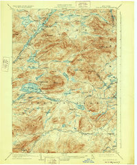
1903 Map of Blue Mountain
USGS Topo · Published 1928About this map
Blue Mountain Lake and Long Lake anchor this 1903 survey of the central Adirondack wilderness, an area defined by its complex network of waterways and early resort outposts. At the turn of the century, the region's transport was still heavily tied to the water, as evidenced by the Steamboat Route connecting Utowana Lake and Eagle Lake. Small settlements like Deerland and Forest House appear as isolated hubs within a landscape dominated by peaks like Blue Mt. and Mt. Sabattis. The industrial imprint of logging is visible at Rolling Dam on the Rock River, while the natural drainage of the Raquette River and Indian Lake dictates the movement across the territory. This map captures the area just as it was becoming a premier destination for seasonal visitors, showing the original footprints of local landmarks and water-access points before modern development altered the shoreline character.
Find a feature on this map
70 named features on this map. Tap any name to fly to it.
Don’t see what you’re looking for? This feature index may not catch every label — zoom into the map to look around manually.
Map Details
Editions of this 1903 Blue Mountain Map
11 editions found

1903 edition
16.6 x 20.1 inches
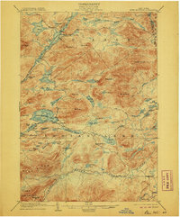
1906 edition
16.6 x 20 inches
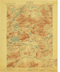
1908 edition
16.6 x 20.1 inches
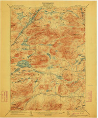
1912 edition
16.6 x 20.1 inches
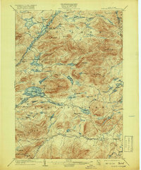
1919 edition
16.6 x 20.1 inches
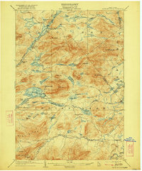
1922 edition
16.6 x 20 inches
1928 edition
16.6 x 20.1 inches
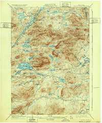
1932 edition
16.6 x 20.1 inches
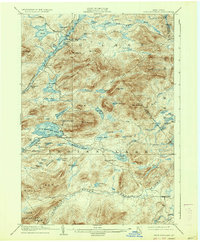
1937 edition
16.6 x 20.1 inches
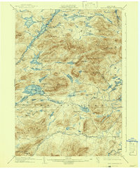
1942 edition
16.6 x 20.2 inches
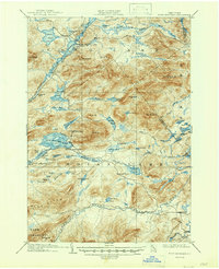
1947 edition
17 x 20.9 inches
Other maps of this area

1898 · Newcomb
USGS Topo · 1:62,500

1898 · Thirteenth Lake
USGS Topo · 1:62,500

1899 · Indian Lake
USGS Topo · 1:62,500

1900 · Canada Lake
USGS Topo · 1:62,500

1901 · Newcomb
USGS Topo · 1:62,500

1902 · Indian Lake
USGS Topo · 1:62,500

1903 · West Canada Lakes
USGS Topo · 1:62,500

1903 · Raquette Lake
USGS Topo · 1:62,500
1903 · Blue Mountain
USGS Topo · 1:62,500

1904 · Santanoni
USGS Topo · 1:62,500