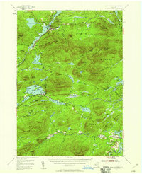
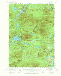
1954 Map of Blue Mountain
USGS Topo · Published 1958About this map
The central Adirondack wilderness, documented just after the mid-century, reveals a landscape defined by its interlocking waterways and burgeoning recreation. Blue Mountain Lake and Long Lake serve as the primary nodes of settlement, connected by the Raquette River which flows north past Deerland and Buttermilk Falls. The map records the early footprint of regional tourism, featuring the Lake Eaton State Camp, the Cedar River Golf Course, and the remote Forest House.
Find a feature on this map
108 named features on this map. Tap any name to fly to it.
Don’t see what you’re looking for? This feature index may not catch every label — zoom into the map to look around manually.
Map Details
Editions of this 1954 Blue Mountain Map
6 editions found

Other maps of this area

1898 · Newcomb
USGS Topo · 1:62,500

1898 · Thirteenth Lake
USGS Topo · 1:62,500

1899 · Indian Lake
USGS Topo · 1:62,500

1900 · Canada Lake
USGS Topo · 1:62,500

1901 · Newcomb
USGS Topo · 1:62,500

1902 · Indian Lake
USGS Topo · 1:62,500

1903 · West Canada Lakes
USGS Topo · 1:62,500

1903 · Raquette Lake
USGS Topo · 1:62,500

1903 · Blue Mountain
USGS Topo · 1:62,500

1904 · Santanoni
USGS Topo · 1:62,500