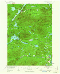
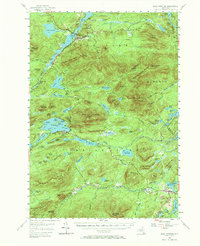
1954 Map of Blue Mountain
USGS Topo · Published 1963About this map
The Raquette River and Long Lake dominate this mid-century survey of Hamilton County, New York, documenting a landscape centered on early Adirondack recreation and wilderness preservation. Settlement is concentrated at the northern and southern edges, where the communities of Long Lake and Indian Lake serve as gateways to the interior. The presence of Camp St Mary, Lake Durant Camp, and the Cedar River Golf Course reflects a well-established seasonal economy.
Find a feature on this map
160 named features on this map. Tap any name to fly to it.
Don’t see what you’re looking for? This feature index may not catch every label — zoom into the map to look around manually.
Map Details
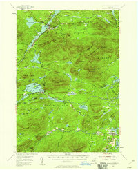
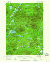
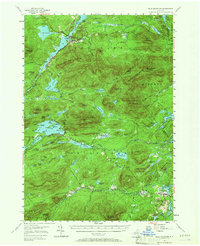
Editions of this 1954 Blue Mountain Map
6 editions found

Other maps of this area

1898 · Newcomb
USGS Topo · 1:62,500

1898 · Thirteenth Lake
USGS Topo · 1:62,500

1899 · Indian Lake
USGS Topo · 1:62,500

1900 · Canada Lake
USGS Topo · 1:62,500

1901 · Newcomb
USGS Topo · 1:62,500

1902 · Indian Lake
USGS Topo · 1:62,500

1903 · West Canada Lakes
USGS Topo · 1:62,500

1903 · Raquette Lake
USGS Topo · 1:62,500

1903 · Blue Mountain
USGS Topo · 1:62,500

1904 · Santanoni
USGS Topo · 1:62,500