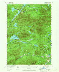
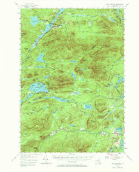
1954 Map of Blue Mountain
USGS Topo · Published 1966About this map
The Blue Mountain Lake region in the central Adirondacks is defined by a dense network of high peaks and interconnected waterways. The landscape is dominated by the massive Blue Mountain, where a Lookout Tower marks the summit above the lake's many islands, including Osprey Island and Long Island. To the north, the village of Long Lake serves as a focal point near Lake Eaton State Camp, while the smaller settlement of Deerland sits at the junction of South Pond and the Raquette River.
Find a feature on this map
104 named features on this map. Tap any name to fly to it.
Don’t see what you’re looking for? This feature index may not catch every label — zoom into the map to look around manually.
Map Details
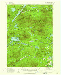
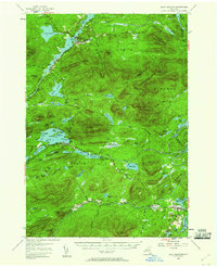
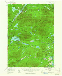
Editions of this 1954 Blue Mountain Map
6 editions found

Other maps of this area

1898 · Newcomb
USGS Topo · 1:62,500

1898 · Thirteenth Lake
USGS Topo · 1:62,500

1899 · Indian Lake
USGS Topo · 1:62,500

1900 · Canada Lake
USGS Topo · 1:62,500

1901 · Newcomb
USGS Topo · 1:62,500

1902 · Indian Lake
USGS Topo · 1:62,500

1903 · West Canada Lakes
USGS Topo · 1:62,500

1903 · Raquette Lake
USGS Topo · 1:62,500

1903 · Blue Mountain
USGS Topo · 1:62,500

1904 · Santanoni
USGS Topo · 1:62,500