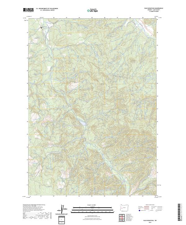
2023 Map of Blue Mountain
USGS Topo · Published 2023About this map
Mosby Creek and the Row River dominate this pocket of Lane County, where the landscape transitions from valley floor to the forested slopes of Blue Mtn. The map highlights a legacy of industrial activity, particularly the Booth-Kelly-Lumber Company Log Pond situated along the lower reach of Lewis Creek. This infrastructure underscores the region's historical reliance on timber production and logging operations. Near the northern edge, Broumbaugh Cem and Blue Mountain School Rd indicate the early patterns of rural community life in this rugged drainage system. High-elevation points like Round Mtn overlook a dense network of forest roads, including Weyerhauser Rd and various BLM routes, illustrating the modern management of these timberlands. The transformation of former rail beds is evident in the Row River Trail-Asphalt Tr, which now tracks the river's path into the foothills.
Find a feature on this map
55 named features on this map. Tap any name to fly to it.
Don’t see what you’re looking for? This feature index may not catch every label — zoom into the map to look around manually.
Map Details
Editions of this 2023 Blue Mountain Map
This is the sole edition of this map. No revisions or reprints were ever made.
Other maps of this area

1921 · Cottage Grove
USGS Topo · 1:62,500

1935 · Lowell
USGS Topo · 1:96,000

1942 · Lowell
USGS Topo · 1:125,000

1954 · Anlauf
USGS Topo · 1:62,500

1955 · Culp Creek
USGS Topo · 1:62,500

1955 · Lowell
USGS Topo · 1:62,500
1957 · Cottage Grove
USGS Topo · 1:62,500

1958 · Roseburg
USGS Topo · 1:250,000

1959 · Roseburg
USGS Topo · 1:250,000

1979 · Cottage Grove
USGS Topo · 1:100,000