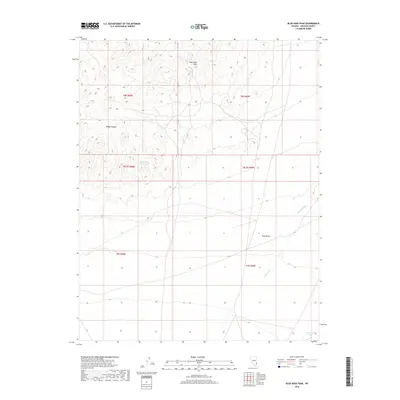
2018 Map of Blue Nose Peak
USGS Topo · Published 2018About this map
Blue Nose Peak rises as a prominent landmark in this high-desert region of Lincoln County, defining a landscape marked by dramatic topographical shifts and ephemeral watercourses. The northern portion of the map is dominated by the complex terrain of Dodge Pockets, while the southern expanse transitions into the relatively level floor of the Tule Desert. This 2018 survey reveals the critical role of water management in an arid environment, notably through the White Rock Reservoir and the drainage networks of Garden Wash and Sams Camp Wash. These features reflect a legacy of land use where seasonal runoff is the primary sculptor of the desert floor, dictating the placement of range improvements and boundary lines like t8s r68e and t9s r69e in this remote section of the Great Basin.
Find a feature on this map
12 named features on this map. Tap any name to fly to it.
Don’t see what you’re looking for? This feature index may not catch every label — zoom into the map to look around manually.
Map Details
Editions of this 2018 Blue Nose Peak Map
This is the sole edition of this map. No revisions or reprints were ever made.
Other maps of this area

1885 · Pioche
USGS Topo · 1:250,000

1886 · Pioche
USGS Topo · 1:250,000

1954 · Caliente
USGS Topo · 1:250,000

1959 · Caliente
USGS Topo · 1:250,000
1973 · Leith
USGS Topo · 1:24,000
1973 · Jacks Mountain
USGS Topo · 1:24,000
1973 · Tule Spring
USGS Topo · 1:24,000
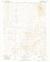
1973 · Lime Mountain
USGS Topo · 1:24,000
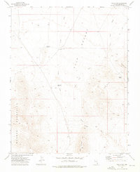
1973 · Toquop Gap
USGS Topo · 1:24,000
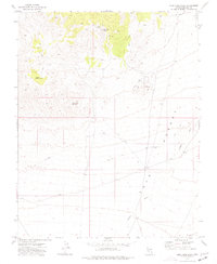
1973 · Blue Nose Peak
USGS Topo · 1:24,000