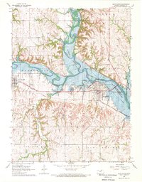
1968 Map of Blue Rapids
USGS Topo · Published 1970About this map
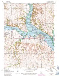
Tuttle Creek Reservoir dominates the central landscape of Marshall County, where the Big Blue River and Little Blue River converge. This 1960s survey documents the area shortly after the reservoir’s completion, showing the extensive Tuttle Creek Reservoir State Wildlife Management Area and the modified flow of the river system. The rail infrastructure of the Missouri Pacific railroad cuts across the terrain, serving the primary settlements of Blue Rapids and Waterville.
Find a feature on this map
32 named features on this map. Tap any name to fly to it.
Don’t see what you’re looking for? This feature index may not catch every label — zoom into the map to look around manually.
Map Details
Editions of this 1968 Blue Rapids Map
2 editions found
Other maps of this area

1889 · Marysville
USGS Topo · 1:125,000

1894 · Marysville
USGS Topo · 1:125,000

1955 · Manhattan
USGS Topo · 1:250,000

1956 · Manhattan
USGS Topo · 1:250,000

1957 · Manhattan
USGS Topo · 1:250,000

1966 · Marysville
USGS Topo · 1:24,000

1966 · Hanover SE
USGS Topo · 1:24,000

1966 · Home
USGS Topo · 1:24,000
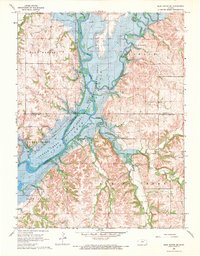
1968 · Blue Rapids SE
USGS Topo · 1:24,000
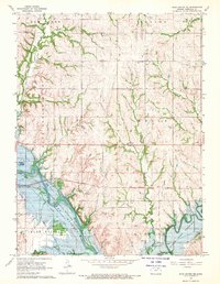
1968 · Blue Rapids NE
USGS Topo · 1:24,000