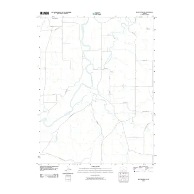
2009 Map of Blue Rapids SE
USGS Topo · Published 2009About this map
Big Blue River and the Black Vermillion River converge in this northern Kansas landscape, forming a complex network of tributaries and river bends. The confluence area is marked by significant topographical landmarks such as Indian Mound in the northwest and Twin Mounds to the northeast. Settlement patterns follow the high ground and section lines, with a modern grid of rural roads including Parallel Rd and High View Rd providing access to the interior. Centrally located near the river junction, the Proctor Cemetery stands as a primary genealogical landmark for the surrounding rural community. The drainage patterns of Spring Creek, Bluff Creek, and Fourmile Creek illustrate the natural erosion of the plateau as it descends toward the river valleys, creating a varied terrain for agricultural and local land use at the end of the first decade of the 2000s.
Find a feature on this map
32 named features on this map. Tap any name to fly to it.
Don’t see what you’re looking for? This feature index may not catch every label — zoom into the map to look around manually.
Map Details
Editions of this 2009 Blue Rapids SE Map
This is the sole edition of this map. No revisions or reprints were ever made.
Other maps of this area

1886 · Junction City
USGS Topo · 1:125,000

1889 · Seneca
USGS Topo · 1:125,000

1889 · Wamego
USGS Topo · 1:125,000

1889 · Marysville
USGS Topo · 1:125,000

1889 · Junction City
USGS Topo · 1:125,000

1894 · Junction City
USGS Topo · 1:125,000

1894 · Seneca
USGS Topo · 1:125,000

1894 · Marysville
USGS Topo · 1:125,000

1894 · Wamego
USGS Topo · 1:125,000

1955 · Manhattan
USGS Topo · 1:250,000