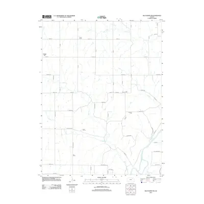
2012 Map of Blue Rapids SW
USGS Topo · Published 2012About this map
Cottage Hill and its surrounding countryside define this portion of Marshall County, where a network of rural cemeteries provides a physical record of the early families who settled this Kansas landscape. Genealogists and local historians will find several well-preserved burial grounds, including Saint Wenceslaus Cem, Swede Creek Cem, and Pleasant Hill Cem, often situated near the creeks that shaped the regional topography.
Find a feature on this map
33 named features on this map. Tap any name to fly to it.
Don’t see what you’re looking for? This feature index may not catch every label — zoom into the map to look around manually.
Map Details
Editions of this 2012 Blue Rapids SW Map
This is the sole edition of this map. No revisions or reprints were ever made.
Other maps of this area

1886 · Junction City
USGS Topo · 1:125,000

1889 · Marysville
USGS Topo · 1:125,000

1889 · Junction City
USGS Topo · 1:125,000

1894 · Junction City
USGS Topo · 1:125,000

1894 · Marysville
USGS Topo · 1:125,000

1955 · Manhattan
USGS Topo · 1:250,000

1956 · Manhattan
USGS Topo · 1:250,000

1957 · Manhattan
USGS Topo · 1:250,000
1964 · Randolph
USGS Topo · 1:24,000
1964 · Olsburg
USGS Topo · 1:24,000