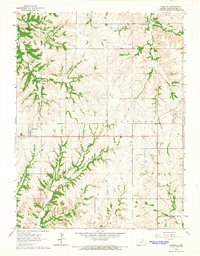
1964 Map of Olsburg
USGS Topo · Published 1965About this map
Olsburg sits as a central settlement in this mid-1960s Kansas landscape, surrounded by a transition from traditional farming to a landscape reshaped by modern infrastructure. The northwestern corner is dominated by the Tuttle Creek Reservoir, where the rising waters of the Blue Valley meet the established drainage of Shannon Creek. This era of development is literally etched into the map, with a major road clearly marked Under Construction stretching eastward from the town center. Genealogists and local historians will find significant value in the documentation of numerous burial grounds, including the Spring Creek Cem and Mariadahl Cem, which anchor the small rural communities and townships like Shannon and Green. The geography is defined by a dense network of drainages such as Bucksnort Creek and Pleasant Run, reflecting the complex topography of Pottawatomie County before further suburban development.
Find a feature on this map
20 named features on this map. Tap any name to fly to it.
Don’t see what you’re looking for? This feature index may not catch every label — zoom into the map to look around manually.
Map Details
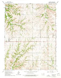
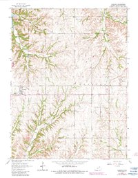
Editions of this 1964 Olsburg Map
3 editions found
Other maps of this area

1886 · Junction City
USGS Topo · 1:125,000

1889 · Seneca
USGS Topo · 1:125,000

1889 · Wamego
USGS Topo · 1:125,000

1889 · Marysville
USGS Topo · 1:125,000

1889 · Junction City
USGS Topo · 1:125,000

1894 · Junction City
USGS Topo · 1:125,000

1894 · Seneca
USGS Topo · 1:125,000

1894 · Marysville
USGS Topo · 1:125,000

1894 · Wamego
USGS Topo · 1:125,000

1955 · Manhattan
USGS Topo · 1:250,000