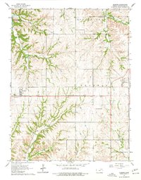
1964 Map of Olsburg
USGS Topo · Published 1977About this map
Olsburg and Fostoria serve as the primary anchors for this Pottawatomie County landscape during the mid-1960s. The map captures a period of transition as large-scale infrastructure projects were reshaping the area, most notably evidenced by the highway under construction spanning the central portion of the quadrangle. To the northwest, the influence of Tuttle Creek Lake is visible, altering the character of the Blue Valley as it meets the drainages of Fourmile Cr. For genealogists and local historians, several burial grounds are documented across the rural townships, including Mariadahl Cem, Olsburg Cem, Spring Creek Cem, and Adams Peak Cem. The terrain is defined by a dense network of creek valleys, including Bucksnort Creek and Shannon Creek, which dictated the early settlement patterns and road placements within Spring Creek, Shannon, and Green townships.
Find a feature on this map
21 named features on this map. Tap any name to fly to it.
Don’t see what you’re looking for? This feature index may not catch every label — zoom into the map to look around manually.
Map Details
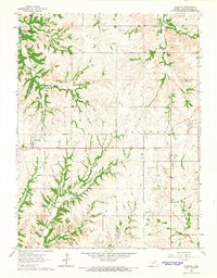
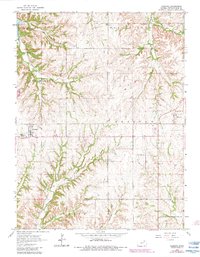
Editions of this 1964 Olsburg Map
3 editions found
Other maps of this area

1886 · Junction City
USGS Topo · 1:125,000

1889 · Seneca
USGS Topo · 1:125,000

1889 · Wamego
USGS Topo · 1:125,000

1889 · Marysville
USGS Topo · 1:125,000

1889 · Junction City
USGS Topo · 1:125,000

1894 · Junction City
USGS Topo · 1:125,000

1894 · Seneca
USGS Topo · 1:125,000

1894 · Marysville
USGS Topo · 1:125,000

1894 · Wamego
USGS Topo · 1:125,000

1955 · Manhattan
USGS Topo · 1:250,000