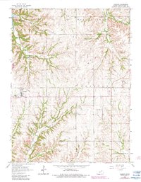
1964 Map of Olsburg
USGS Topo · Published 1983About this map
Olsburg serves as the primary hub of this Pottawatomie County landscape, situated just east of the northern reaches of Tuttle Creek Lake. The map reveals a deeply dissected terrain where the Blue Valley meets the high ridges of Shannon and Green townships. A network of local burial grounds, including Spring Creek Cem, Mariadahl Cem, and Adams Peak Cem, offers significant research value for those tracing early settlement patterns in the Flint Hills region. The drainage system is particularly well-defined, with Buckshort Creek, Carnahan Creek, and McIntire Creek carving through the limestone hills. Industrial and utility infrastructure of the era is represented by a local Quarry and a Landing Strip near the small community of Fostoria on the eastern edge of the quadrangle.
Find a feature on this map
20 named features on this map. Tap any name to fly to it.
Don’t see what you’re looking for? This feature index may not catch every label — zoom into the map to look around manually.
Map Details
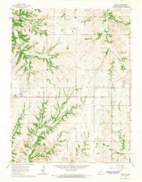
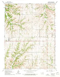
Editions of this 1964 Olsburg Map
3 editions found
Other maps of this area

1886 · Junction City
USGS Topo · 1:125,000

1889 · Seneca
USGS Topo · 1:125,000

1889 · Wamego
USGS Topo · 1:125,000

1889 · Marysville
USGS Topo · 1:125,000

1889 · Junction City
USGS Topo · 1:125,000

1894 · Junction City
USGS Topo · 1:125,000

1894 · Seneca
USGS Topo · 1:125,000

1894 · Marysville
USGS Topo · 1:125,000

1894 · Wamego
USGS Topo · 1:125,000

1955 · Manhattan
USGS Topo · 1:250,000