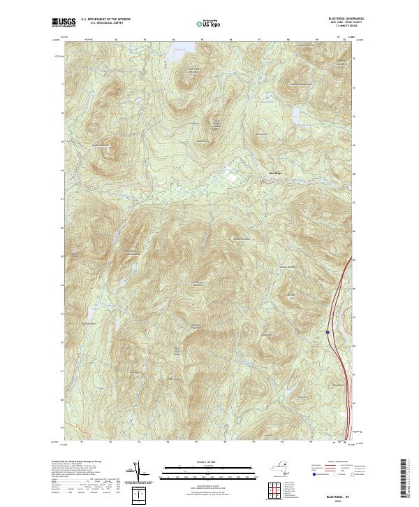
2023 Map of Blue Ridge
USGS Topo · Published 2023About this map
Blue Ridge stands as the primary settlement focus within this portion of the Adirondack Park, where human infrastructure is largely defined by the path of Co Hwy 28. The landscape is dominated by high peaks and significant natural passages, most notably Hoffman Notch and Hornet Notch, which dictate the movement of both water and travelers. The Schroon River and its various tributaries, including The Branch and Trout Brook, carve through the terrain, supporting several marshy basins like Big Marsh and Little Marsh Pond. For those exploring on foot, the Hoffman Notch Trl and Big Pond Trl provide established routes through the Blue Ridge Range. This survey documents a wilderness area where names like Saywood Hill, LeClair Hill, and Smith Hill reflect the local heritage and geography of Essex County's interior.
Find a feature on this map
49 named features on this map. Tap any name to fly to it.
Don’t see what you’re looking for? This feature index may not catch every label — zoom into the map to look around manually.
Map Details
Editions of this 2023 Blue Ridge Map
This is the sole edition of this map. No revisions or reprints were ever made.
Other maps of this area

1894 · Elizabethtown
USGS Topo · 1:62,500

1895 · Elizabethtown
USGS Topo · 1:62,500

1895 · Mt. Marcy
USGS Topo · 1:62,500

1895 · Paradox Lake
USGS Topo · 1:62,500

1897 · Paradox Lake
USGS Topo · 1:62,500

1897 · Schroon Lake
USGS Topo · 1:62,500

1901 · Elizabethtown
USGS Topo · 1:62,500

1902 · Mt. Marcy
USGS Topo · 1:62,500

1950 · Glens Falls
USGS Topo · 1:250,000

1950 · Lake Champlain
USGS Topo · 1:250,000