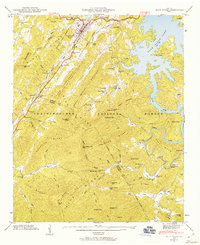
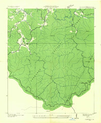
1946 Map of Blue Ridge
USGS Topo · Published 1960About this map
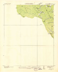
Blue Ridge stands as the primary hub of this north Georgia landscape during the immediate post-war era, situated near the headwaters of the Blue Ridge Lake. The settlement patterns recorded here reveal a rural economy still deeply tied to small-scale industry and the Louisville and Nashville railroad corridor, which follows the winding path of Cherrylog Creek past Maxwell and into the mountains. This map documents a transition in the valley as newer infrastructure like the Scenic Highway began to augment older local landmarks like Elrod Mill, Ballew Mill, and the Greens Mill site.
Find a feature on this map
108 named features on this map. Tap any name to fly to it.
Don’t see what you’re looking for? This feature index may not catch every label — zoom into the map to look around manually.
Map Details
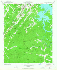
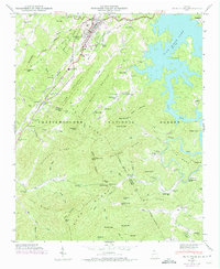
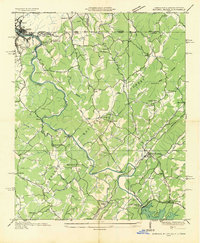
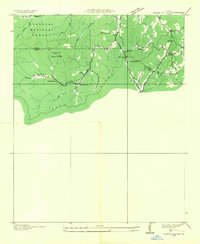
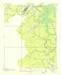
Editions of this 1946 Blue Ridge Map
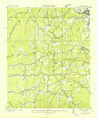
Other maps of this area

1888 · Ellijay
USGS Topo · 1:125,000

1892 · Ellijay
USGS Topo · 1:125,000

1898 · Ellijay
USGS Topo · 1:125,000

1911 · Ellijay
USGS Topo · 1:125,000
1935 · Epworth
USGS Topo · 1:24,000
1935 · Noontootla
USGS Topo · 1:24,000
1935 · Mineral Bluff
USGS Topo · 1:24,000
1935 · Cashes Valley
USGS Topo · 1:24,000
1935 · Lake Toccoa
USGS Topo · 1:24,000
1935 · Tickanetley
USGS Topo · 1:24,000