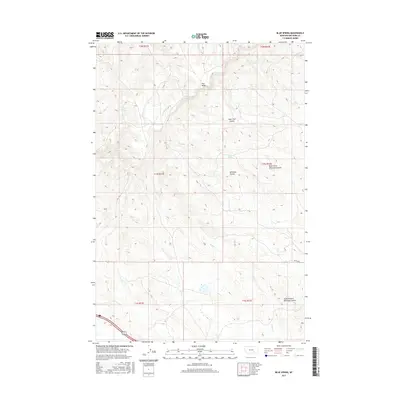
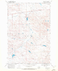
2017 Map of Blue Spring
USGS Topo · Published 2017About this map
Pine Ridge dominates the northern reaches of this Big Horn County landscape, where the high ground gives way to a complex system of drainage channels. The area is defined by its coulees, most notably the winding Lone Tree Coulee and the extensive Whitman Coulee system, which includes both the North Fork and South Branch. These deep incisions in the earth illustrate the erosive power of intermittent water sources in this semi-arid region.
Find a feature on this map
17 named features on this map. Tap any name to fly to it.
Don’t see what you’re looking for? This feature index may not catch every label — zoom into the map to look around manually.
Map Details
Editions of this 2017 Blue Spring Map
This is the sole edition of this map. No revisions or reprints were ever made.
Other maps of this area

1894 · Fort Custer
USGS Topo · 1:125,000

1954 · Hardin
USGS Topo · 1:250,000

1957 · Hardin
USGS Topo · 1:250,000

1958 · Hardin
USGS Topo · 1:250,000

1960 · Chimney Creek
USGS Topo · 1:24,000

1960 · Walker Hill
USGS Topo · 1:24,000
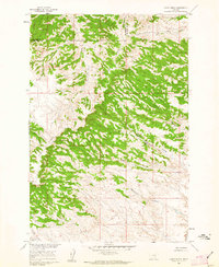
1960 · Lemon Ranch
USGS Topo · 1:24,000
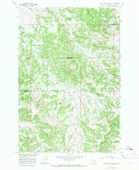
1967 · Wagon Box Spring
USGS Topo · 1:24,000
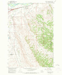
1967 · Pompeys Pillar
USGS Topo · 1:24,000
1969 · Rowley NW
USGS Topo · 1:24,000