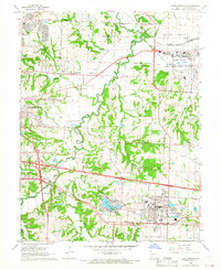
1965 Map of Blue Springs
USGS Topo · Published 1966About this map
The Lake City Army Ammunition Plant dominates the northeastern corner of this Jackson County landscape, reflecting the heavy industrial and military footprint of the mid-1960s. Between the growing residential blocks of East Independence and Blue Springs, the terrain is defined by the winding course of the Little Blue River and several small, rural nodes like Selsa. This era shows a community in transition, where new suburban subdivisions meet older agricultural landmarks such as Lobb Cem and the Spring Branch School. The Gulf Mobile and Ohio and Missouri Pacific railroads bisect the area, serving both the ammunition plant and local commerce. Along the southern edge, the recreational waters of Lake Tapawingo and the nearby Fish Hatchery provide a distinct contrast to the industrial zones to the north. Local landmarks like Trinity Church and Elm Grove Church anchor the traditional neighborhoods as the region began to expand.
Find a feature on this map
61 named features on this map. Tap any name to fly to it.
Don’t see what you’re looking for? This feature index may not catch every label — zoom into the map to look around manually.
Map Details
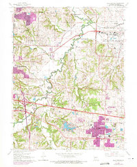
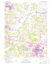
Editions of this 1965 Blue Springs Map
3 editions found
Other maps of this area

1887 · Harrisonville
USGS Topo · 1:125,000

1892 · Harrisonville
USGS Topo · 1:125,000

1894 · Harrisonville
USGS Topo · 1:125,000

1894 · Independence
USGS Topo · 1:125,000

1933 · Blue Springs
USGS Topo · 1:24,000

1934 · Oak Grove
USGS Topo · 1:24,000

1934 · Independence
USGS Topo · 1:24,000

1934 · Lees Summit
USGS Topo · 1:24,000

1934 · Woods Chapel
USGS Topo · 1:24,000

1935 · Buckner
USGS Topo · 1:24,000