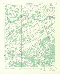
1935 Map of Bluff City
USGS Topo · Published 1935About this map
South Fork Holston River and the Watauga River converge in this mid-1930s landscape, just as the Tennessee Valley Authority began its monumental shifts to the region's geography. The map documents a traditional river-centered economy where Hyder Mill, Shaver Mill, and Galloway Mill still stood as local landmarks. The Piney Flats Electric Co and a Gaging Station near Bluff City signal the early infrastructure of the modern era. Small rural communities like Piney Flats and Childress are intricately detailed with numerous country churches and schools, including Buffalo Ch, Hulls Chapel, and the Locust Grove Sch. The intricate network of river islands, such as Massengill Island and Stony Cross Island, and the presence of the Southern and Tennessee Eastern railroads illustrate the vital transit corridors of East Tennessee before the later inundation of reservoir projects.
Find a feature on this map
81 named features on this map. Tap any name to fly to it.
Don’t see what you’re looking for? This feature index may not catch every label — zoom into the map to look around manually.
Map Details
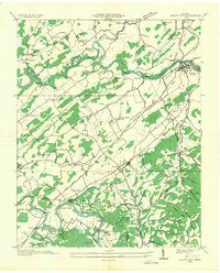
Editions of this 1935 Bluff City Map
2 editions found
Other maps of this area

1891 · Roan Mountain
USGS Topo · 1:125,000

1894 · Roan Mountain
USGS Topo · 1:125,000

1897 · Bristol
USGS Topo · 1:125,000

1902 · Bristol
USGS Topo · 1:125,000

1904 · Roan Mountain
USGS Topo · 1:125,000

1934 · Bristol
USGS Topo · 1:24,000

1935 · Watauga Valley
USGS Topo · 1:48,000

1935 · Blountville
USGS Topo · 1:24,000
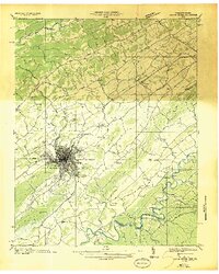
1935 · Beaver Creek
USGS Topo · 1:48,000

1935 · Spurgeon
USGS Topo · 1:24,000