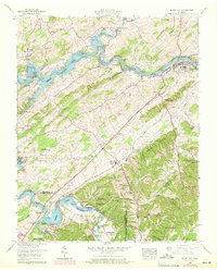
1959 Map of Bluff City
USGS Topo · Published 1971About this map
Piney Flats and Bluff City anchor this landscape during a period of transition, where the South Fork Holston River and Watauga River have been transformed by the waters of Boone Lake. The map reveals a dense network of family heritage markers, with numerous small burial grounds like Massengill Cem, Devault Cem, and Hawthorne Cem scattered across the ridges. Educational and religious centers including the Mary Hughes High School and Holston Grove Church reflect the community structure of Sullivan County during the mid-twentieth century.
Find a feature on this map
109 named features on this map. Tap any name to fly to it.
Don’t see what you’re looking for? This feature index may not catch every label — zoom into the map to look around manually.
Map Details
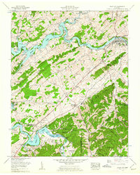
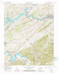
Editions of this 1959 Bluff City Map
3 editions found
Other maps of this area

1891 · Roan Mountain
USGS Topo · 1:125,000

1894 · Roan Mountain
USGS Topo · 1:125,000

1897 · Bristol
USGS Topo · 1:125,000

1902 · Bristol
USGS Topo · 1:125,000

1904 · Roan Mountain
USGS Topo · 1:125,000

1934 · Bristol
USGS Topo · 1:24,000

1935 · Watauga Valley
USGS Topo · 1:48,000

1935 · Blountville
USGS Topo · 1:24,000
1935 · Beaver Creek
USGS Topo · 1:48,000

1935 · Spurgeon
USGS Topo · 1:24,000