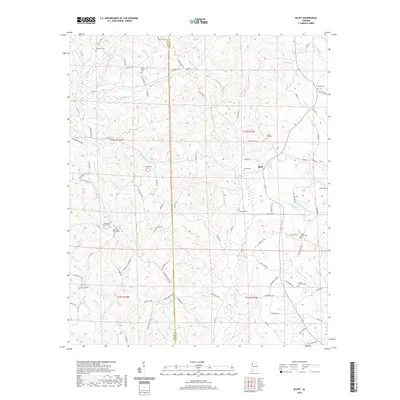
2020 Map of Bluff
USGS Topo · Published 2020About this map
Bluff sits at the heart of this rural landscape, positioned along the border where Lamar and Fayette counties meet. The region is characterized by a dense network of small watercourses, including Hells Creek, Rocky Ford Creek, and Blowhorn Creek, which have shaped the local topography and placement of roads. The sheer number of small family and community burial grounds, such as Sizemore Cemetery, Antioch Cemetery, and Blooming Grove Cemetery, suggests a deeply rooted residential history spread across the uplands. This area maintained a quiet, agrarian character well into the 21st century, with long-established transport routes like Seed Tick Road and Brown Mill Creek Road connecting isolated farmsteads. Distinctive landmarks like Byars Xing and various bottomlands along Crane Neck Creek highlight the specific local geography used by generations of residents.
Find a feature on this map
91 named features on this map. Tap any name to fly to it.
Don’t see what you’re looking for? This feature index may not catch every label — zoom into the map to look around manually.
Map Details
Editions of this 2020 Bluff Map
This is the sole edition of this map. No revisions or reprints were ever made.
Other maps of this area

1953 · Birmingham
USGS Topo · 1:250,000

1953 · West Point
USGS Topo · 1:250,000

1956 · Birmingham
USGS Topo · 1:250,000

1957 · Birmingham
USGS Topo · 1:250,000

1958 · West Point
USGS Topo · 1:250,000

1963 · West Point
USGS Topo · 1:250,000

1967 · Winfield SE
USGS Topo · 1:24,000

1967 · Beaverton
USGS Topo · 1:24,000

1967 · Hightogy
USGS Topo · 1:24,000

1967 · Bluff
USGS Topo · 1:24,000