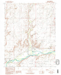
1989 Map of Bluff
USGS Topo · Published 1989About this map
Bluff serves as the focal point of this late 1980s landscape, situated where Cottonwood Wash meets the northern banks of the San Juan River. The town's layout is recorded alongside local landmarks like the Cem and St Christophers Mission, while the surrounding terrain is defined by dramatic geological formations. To the north of the settlement, Navajo Twins and Sunbonnet Rock stand as prominent markers near the mouth of Cow Canyon. Across the river to the south, the map details the northern edge of the Navajo Indian Reservation on the Casa Del Eco Mesa. Numerous exploration points are documented across the high ground, including a series of Drill Holes and Oil Wells that speak to the region's mineral and water surveying history on the Bluff Bench.
Find a feature on this map
34 named features on this map. Tap any name to fly to it.
Don’t see what you’re looking for? This feature index may not catch every label — zoom into the map to look around manually.
Map Details
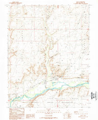
Editions of this 1989 Bluff Map
2 editions found
Other maps of this area

1886 · Abajo
USGS Topo · 1:250,000

1892 · Abajo
USGS Topo · 1:250,000

1893 · Abajo
USGS Topo · 1:250,000

1956 · Cortez
USGS Topo · 1:250,000

1958 · Cortez
USGS Topo · 1:250,000

1959 · Cortez
USGS Topo · 1:250,000

1962 · Cortez
USGS Topo · 1:250,000
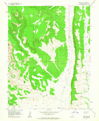
1962 · Bluff NW
USGS Topo · 1:24,000

1962 · Montezuma Creek
USGS Topo · 1:62,500

1962 · Bluff
USGS Topo · 1:62,500