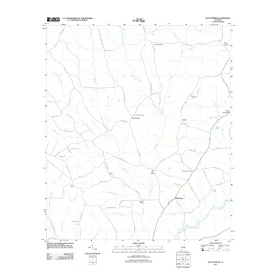
2011 Map of Bluff Springs
USGS Topo · Published 2011About this map
Bluff Springs and the surrounding Coffee County countryside are defined by a network of creeks and community landmarks that speak to the area's agricultural and rural heritage. The landscape is carved by water, with Bluff Creek and Big Creek flowing through the territory, eventually meeting at crossings like Thames Bridge and Lewis Mill Bridge. These bridges served as vital connectors for the dispersed settlements of Zoar, Shady Grove, and the village of Jack, where the Jack Post Office remains a central point of reference.
Find a feature on this map
80 named features on this map. Tap any name to fly to it.
Don’t see what you’re looking for? This feature index may not catch every label — zoom into the map to look around manually.
Map Details
Editions of this 2011 Bluff Springs Map
This is the sole edition of this map. No revisions or reprints were ever made.
Other maps of this area

1942 · Enterprise
USGS Topo · 1:125,000

1948 · Brundidge
USGS Topo · 1:62,500

1950 · Enterprise
USGS Topo · 1:62,500

1950 · Brundidge
USGS Topo · 1:62,500

1953 · Andalusia
USGS Topo · 1:250,000

1953 · Dothan
USGS Topo · 1:250,000

1954 · Dothan
USGS Topo · 1:250,000

1955 · Dothan
USGS Topo · 1:250,000

1957 · Andalusia
USGS Topo · 1:250,000

1960 · Victoria
USGS Topo · 1:24,000