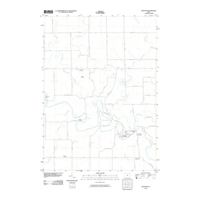
2010 Map of Bluffton
USGS Topo · Published 2010About this map
The Upper Iowa River winds through this section of Winneshiek County, carving a path past the small settlement of Bluffton. The landscape is defined by the confluence of numerous tributaries, including Cold Water Creek, Pine Creek, and Silver Creek, which cut through the rural terrain. Local transportation relies on a network of county roads and distinctive crossings like the Gilliece Bridge and Lower Bluffton Bridge, while the Bluffton Landing Strip provides a small aviation link for the community.
Find a feature on this map
56 named features on this map. Tap any name to fly to it.
Don’t see what you’re looking for? This feature index may not catch every label — zoom into the map to look around manually.
Map Details
Editions of this 2010 Bluffton Map
This is the sole edition of this map. No revisions or reprints were ever made.
Other maps of this area

1906 · Decorah
USGS Topo · 1:125,000

1954 · Mason City
USGS Topo · 1:250,000

1957 · Mason City
USGS Topo · 1:250,000

1958 · Mason City
USGS Topo · 1:250,000

1958 · La Crosse
USGS Topo · 1:250,000

1961 · La Crosse
USGS Topo · 1:250,000

1965 · La Crosse
USGS Topo · 1:250,000

1965 · Harmony
USGS Topo · 1:24,000

1965 · Mabel
USGS Topo · 1:24,000

1965 · Canton
USGS Topo · 1:24,000