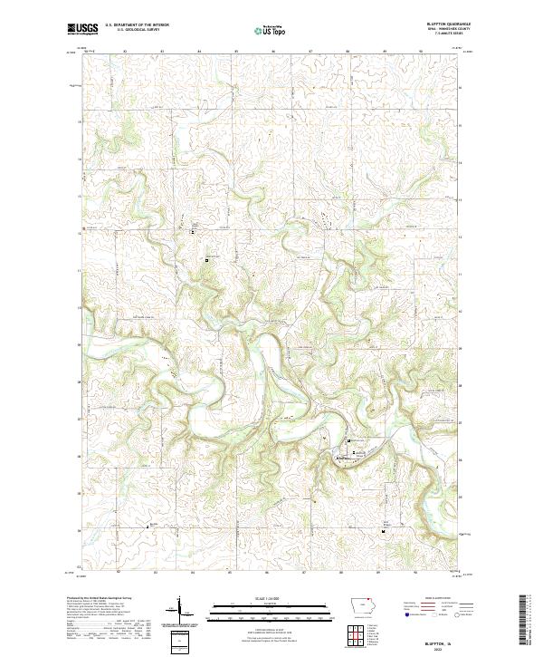
2022 Map of Bluffton
USGS Topo · Published 2022About this map
The Upper Iowa River winds through the heart of the Driftless Area, defining the drainage and settlement patterns of this corner of Winneshiek County. The unincorporated community of Bluffton is the primary focal point, situated along the river and surrounded by a landscape of intricate valleys formed by Cold Water Cr, Pine Cr, and Silver Cr. The area is notably dense with small burial grounds that preserve the family names of early settlers, including Metcalf Cem, Baethke Cem, and Saint Agnes Cem. Transportation follows the contours of the limestone-rich topography, with local routes like Chimney Rock Rd and Co Rd A18 connecting scattered farmsteads to the village center. The map's detailed road network, including numerous named avenues and streets such as 298th Ave and Lost Mile Rd, provides a clear view of modern rural land divisions and property access in this river valley region.
Find a feature on this map
54 named features on this map. Tap any name to fly to it.
Don’t see what you’re looking for? This feature index may not catch every label — zoom into the map to look around manually.
Map Details
Editions of this 2022 Bluffton Map
This is the sole edition of this map. No revisions or reprints were ever made.
Other maps of this area

1906 · Decorah
USGS Topo · 1:125,000

1954 · Mason City
USGS Topo · 1:250,000

1957 · Mason City
USGS Topo · 1:250,000

1958 · Mason City
USGS Topo · 1:250,000

1958 · La Crosse
USGS Topo · 1:250,000

1961 · La Crosse
USGS Topo · 1:250,000

1965 · La Crosse
USGS Topo · 1:250,000

1965 · Harmony
USGS Topo · 1:24,000

1965 · Mabel
USGS Topo · 1:24,000

1965 · Canton
USGS Topo · 1:24,000