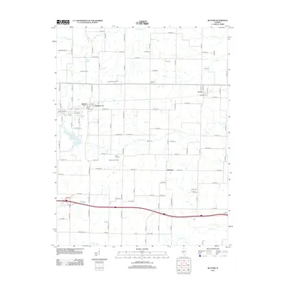
2012 Map of Bluford
USGS Topo · Published 2012About this map
Bluford and Markham City anchor this portion of Jefferson County, characterized by a grid of rural roads and active petroleum extraction. The landscape is dotted with legacies of the regional economy, most notably the Bluford Oil Field and the Markham City Oil Field, which illustrate the subsurface industrial activity prevalent in southern Illinois. Transport and water management are defined by the Illinois Central Railroad and the adjacent Illinois Central Reservoir, serving as focal points for local development.
Find a feature on this map
105 named features on this map. Tap any name to fly to it.
Don’t see what you’re looking for? This feature index may not catch every label — zoom into the map to look around manually.
Map Details
Editions of this 2012 Bluford Map
This is the sole edition of this map. No revisions or reprints were ever made.
Other maps of this area

1933 · Mount Vernon
USGS Topo · 1:48,000

1939 · Ina
USGS Topo · 1:62,500

1940 · Mount Vernon
USGS Topo · 1:62,500

1942 · McLeansboro
USGS Topo · 1:62,500

1943 · Ina
USGS Topo · 1:62,500

1945 · McLeansboro
USGS Topo · 1:62,500

1947 · Wayne City
USGS Topo · 1:62,500

1958 · Belleville
USGS Topo · 1:250,000

1962 · Belleville
USGS Topo · 1:250,000

1964 · Opdyke
USGS Topo · 1:24,000