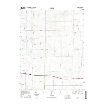
2015 Map of Bluford
USGS Topo · Published 2015About this map
Bluford and its surrounding rail-influenced landscape occupy the western edge of this 2015 study, where the Illinois Central Reservoir sits as a prominent landmark. The area is defined by its transition across county lines, spanning the borders of Jefferson, Wayne, and Hamilton counties. This rural landscape is dotted with several small communities including Markham City, Keenes, and Middleton, each linked by a grid of local roads such as E 1500 N Rd and CR-13.
Find a feature on this map
93 named features on this map. Tap any name to fly to it.
Don’t see what you’re looking for? This feature index may not catch every label — zoom into the map to look around manually.
Map Details
Editions of this 2015 Bluford Map
This is the sole edition of this map. No revisions or reprints were ever made.
Other maps of this area

1933 · Mount Vernon
USGS Topo · 1:48,000

1939 · Ina
USGS Topo · 1:62,500

1940 · Mount Vernon
USGS Topo · 1:62,500

1942 · McLeansboro
USGS Topo · 1:62,500

1943 · Ina
USGS Topo · 1:62,500

1945 · McLeansboro
USGS Topo · 1:62,500

1947 · Wayne City
USGS Topo · 1:62,500

1958 · Belleville
USGS Topo · 1:250,000

1962 · Belleville
USGS Topo · 1:250,000

1964 · Opdyke
USGS Topo · 1:24,000