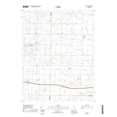
2018 Map of Bluford
USGS Topo · Published 2018About this map
Bluford serves as the primary hub of this Southern Illinois landscape, positioned where the legacy of the rail industry remains visible through the Illinois Central Reservoir. The settlement pattern follows a grid of county roads that span the borders of Jefferson, Wayne, and Hamilton counties, reflecting the deep agricultural roots of the region. Local history is anchored by numerous small burial grounds, including Bruce Cem, Salem Cem, and Mount Olive Cem, which are scattered throughout the rural townships. The terrain is defined by a dendritic network of small waterways like Fourmile Cr, Shoe Cr, and Auxier Cr, which carve through the farmland. Smaller communities like Keenes and Middleton mark historical crossroads, providing a detailed look at the persistent rural infrastructure and family-named landmarks that have shaped these counties for generations.
Find a feature on this map
110 named features on this map. Tap any name to fly to it.
Don’t see what you’re looking for? This feature index may not catch every label — zoom into the map to look around manually.
Map Details
Editions of this 2018 Bluford Map
This is the sole edition of this map. No revisions or reprints were ever made.
Other maps of this area

1933 · Mount Vernon
USGS Topo · 1:48,000

1939 · Ina
USGS Topo · 1:62,500

1940 · Mount Vernon
USGS Topo · 1:62,500

1942 · McLeansboro
USGS Topo · 1:62,500

1943 · Ina
USGS Topo · 1:62,500

1945 · McLeansboro
USGS Topo · 1:62,500

1947 · Wayne City
USGS Topo · 1:62,500

1958 · Belleville
USGS Topo · 1:250,000

1962 · Belleville
USGS Topo · 1:250,000

1964 · Opdyke
USGS Topo · 1:24,000