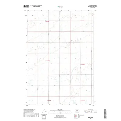
2017 Map of Blunt NW
USGS Topo · Published 2017About this map
Post Lake sits at the southern edge of this Central South Dakota landscape, providing a rare water feature in an otherwise high-prairie environment. The map details a strictly organized grid of agricultural sections across parts of townships T115N, T114N, and T113N. This 2017 survey illustrates the enduring Public Land Survey System layout, where local travel is defined by long, straight section-line roads such as E Onida Rd, 314th Ave, and 183rd St. The terrain is characterized by subtle drainage patterns and small seasonal wetlands typical of Sully County, showing how modern land use continues to conform to the original nineteenth-century township and range divisions.
Find a feature on this map
21 named features on this map. Tap any name to fly to it.
Don’t see what you’re looking for? This feature index may not catch every label — zoom into the map to look around manually.
Map Details
Editions of this 2017 Blunt NW Map
This is the sole edition of this map. No revisions or reprints were ever made.
Other maps of this area

1953 · Huron
USGS Topo · 1:250,000

1954 · Pierre
USGS Topo · 1:250,000

1954 · Huron
USGS Topo · 1:250,000

1958 · Pierre
USGS Topo · 1:250,000

1965 · Agar
USGS Topo · 1:24,000

1967 · Onida SE
USGS Topo · 1:24,000

1967 · Blunt
USGS Topo · 1:24,000

1967 · Blunt SE
USGS Topo · 1:24,000
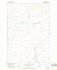
1967 · Blunt NW
USGS Topo · 1:24,000

1967 · Blunt NE
USGS Topo · 1:24,000