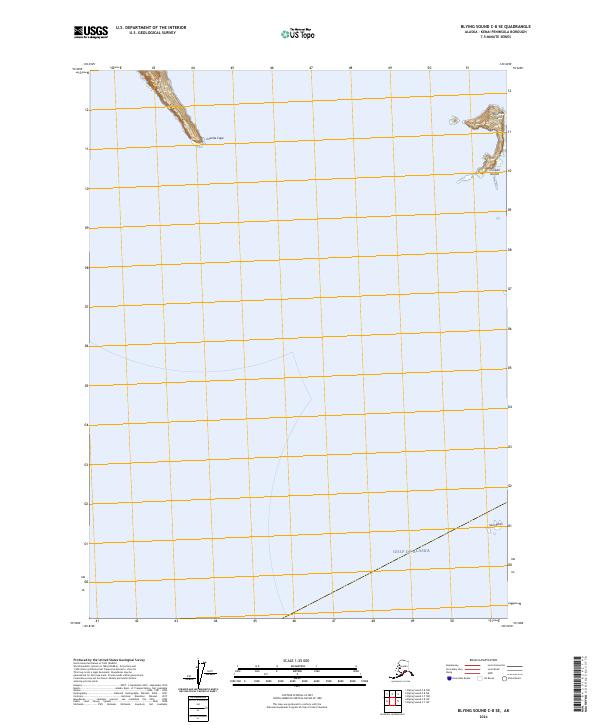
2024 Map of Blying Sound C-8 SE
USGS Topo · Published 2024About this map
The Alaska Maritime National Wildlife Refuge encompasses the rocky outcrops and islands scattered across the Gulf of Alaska on this 2024 survey. The landscape is defined by extreme maritime geography, where isolated landforms like Matushka Island and the Chiswell Islands rise sharply from the sea. These features represent the rugged southern fringe of the Kenai Peninsula, providing critical sanctuary for marine life far from any human settlement or infrastructure.
Find a feature on this map
10 named features on this map. Tap any name to fly to it.
Don’t see what you’re looking for? This feature index may not catch every label — zoom into the map to look around manually.
Map Details
Editions of this 2024 Blying Sound C-8 SE Map
This is the sole edition of this map. No revisions or reprints were ever made.
Other maps of this area

1946 · Blying Sound
USGS Topo · 1:250,000

1951 · Blying Sound
USGS Topo · 1:250,000
1951 · Blying Sound C-8
USGS Topo · 1:63,360
1952 · Blying Sound C-8
USGS Topo · 1:63,360
1952 · Blying Sound C-7
USGS Topo · 1:63,360

1953 · Blying Sound
USGS Topo · 1:250,000
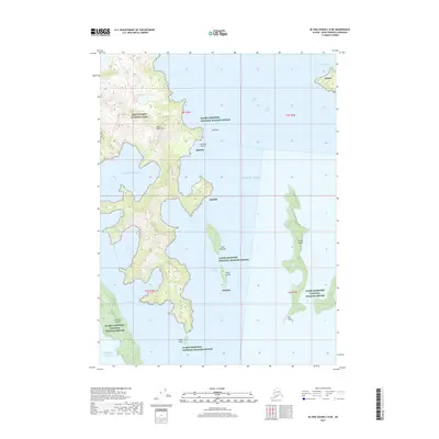
2017 · Blying Sound C-8 NE
USGS Topo · 1:25,000
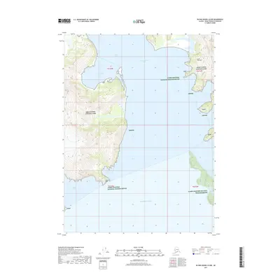
2017 · Blying Sound C-8 NW
USGS Topo · 1:25,000
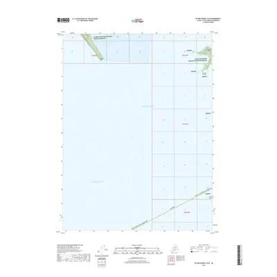
2017 · Blying Sound C-8 SE
USGS Topo · 1:25,000
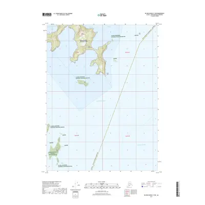
2017 · Blying Sound C-7 NW
USGS Topo · 1:25,000