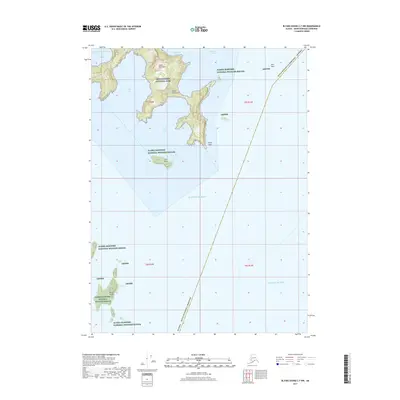
2017 Map of Blying Sound C-7 NW
USGS Topo · Published 2017About this map
The Aialik Peninsula forms a complex, jagged coastline where the Kenai Fjords National Park meets the open waters of the Pacific Ocean. This coastal landscape is defined by its deep inlets and protective coves, such as Three Hole Bay, Cliff Bay, and Pony Cove, which offer sanctuary from the broader Blying Sound. The transition from land to sea is marked by prominent landmarks like Aialik Cape and several offshore features including Pilot Rock and Chat Island.
Find a feature on this map
21 named features on this map. Tap any name to fly to it.
Don’t see what you’re looking for? This feature index may not catch every label — zoom into the map to look around manually.
Map Details
Editions of this 2017 Blying Sound C-7 NW Map
This is the sole edition of this map. No revisions or reprints were ever made.
Other maps of this area

1946 · Blying Sound
USGS Topo · 1:250,000

1950 · Blying Sound D-7
USGS Topo · 1:63,360

1951 · Blying Sound
USGS Topo · 1:250,000
1951 · Blying Sound C-8
USGS Topo · 1:63,360
1951 · Blying Sound D-8
USGS Topo · 1:63,360

1951 · Blying Sound D-7
USGS Topo · 1:63,360
1952 · Blying Sound C-8
USGS Topo · 1:63,360
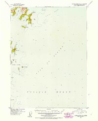
1952 · Blying Sound C-7
USGS Topo · 1:63,360
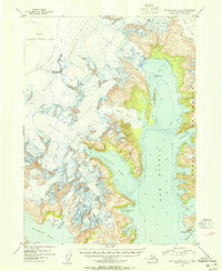
1953 · Blying Sound D-8
USGS Topo · 1:63,360
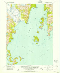
1953 · Blying Sound D-7
USGS Topo · 1:63,360