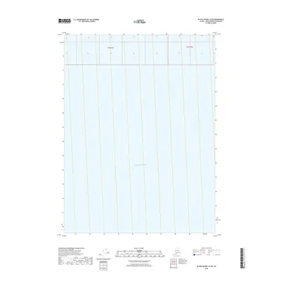
2018 Map of Blying Sound C-8 SW
USGS Topo · Published 2018About this map
Pacific Ocean waters dominate this coastal survey of the Kenai Peninsula’s southern edge. This specific quadrangle covers a marine-heavy expanse where the open sea meets the rugged Alaskan coastline, organized by the township and range lines of t6s r4w and t6s r3w. Unlike interior maps defined by terrestrial landmarks, this 2018 edition provides a specialized look at the maritime boundaries and hydrographic data of the Blying Sound region, essential for understanding the navigational and geographical interface between the peninsula and the North Pacific.
Find a feature on this map
3 named features on this map. Tap any name to fly to it.
Don’t see what you’re looking for? This feature index may not catch every label — zoom into the map to look around manually.
Map Details
Editions of this 2018 Blying Sound C-8 SW Map
This is the sole edition of this map. No revisions or reprints were ever made.
Other maps of this area

1946 · Blying Sound
USGS Topo · 1:250,000

1951 · Blying Sound
USGS Topo · 1:250,000

1951 · Seldovia
USGS Topo · 1:250,000
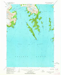
1951 · Blying Sound C-8
USGS Topo · 1:63,360
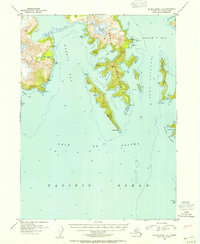
1952 · Blying Sound C-8
USGS Topo · 1:63,360
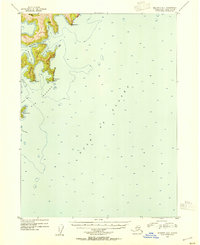
1953 · Seldovia B-1
USGS Topo · 1:63,360
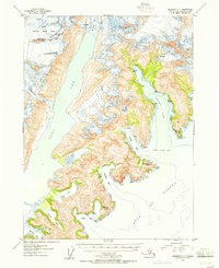
1953 · Seldovia C-1
USGS Topo · 1:63,360

1953 · Blying Sound
USGS Topo · 1:250,000

1963 · Seldovia
USGS Topo · 1:250,000
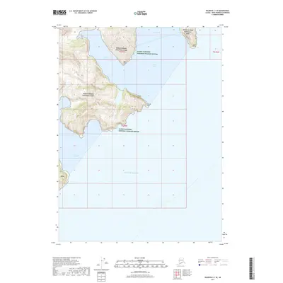
2017 · Seldovia C-1 SE
USGS Topo · 1:25,000