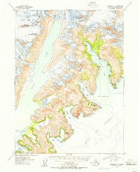
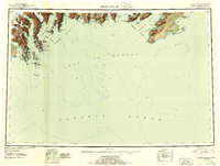
1953 Map of Seldovia C-1
USGS Topo · Published 1955About this map
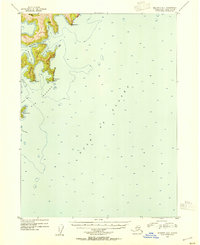
Mc Carty Glacier dominates the northern reaches of this coastal landscape, its icy expanse feeding directly into the East Arm of a complex fjord system. Situated within the Kenai National Moose Range, the terrain is defined by the sharp peaks of the Kenai Mountains and the intricate shoreline of the Gulf of Alaska. The interplay between glacial ice and sea water is evident in the formation of Mc Carty Lagoon and the narrow glacial inlets like Taroka Arm.
Find a feature on this map
21 named features on this map. Tap any name to fly to it.
Don’t see what you’re looking for? This feature index may not catch every label — zoom into the map to look around manually.
Map Details
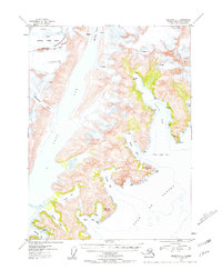
Editions of this 1953 Seldovia C-1 Map
3 editions found

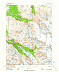
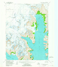
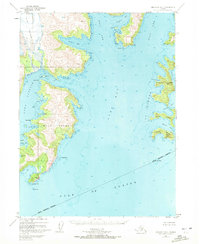
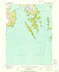
Other maps of this area
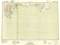
1946 · Blying Sound
USGS Topo · 1:250,000
1950 · Seldovia D-2
USGS Topo · 1:63,360
1951 · Blying Sound
USGS Topo · 1:250,000

1951 · Seldovia
USGS Topo · 1:250,000

1951 · Blying Sound C-8
USGS Topo · 1:63,360
1951 · Blying Sound D-8
USGS Topo · 1:63,360
1951 · Seldovia B-2
USGS Topo · 1:63,360

1951 · Seldovia D-1
USGS Topo · 1:63,360
1952 · Blying Sound C-8
USGS Topo · 1:63,360
1953 · Seldovia B-1
USGS Topo · 1:63,360