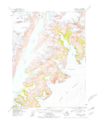
1953 Map of Seldovia C-1
USGS Topo · Published 1958About this map
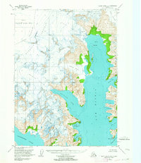
The glacial landscapes of the southern Kenai Peninsula dominate this mid-century survey, where the Kenai National Moose Range meets the ice-scoured fjords of the Gulf of Alaska. Massive ice flows including the Mc Carty Glacier and Dinglestadt Glacier are documented alongside their associated ice fields and crevasses, illustrating the active geological forces of the Kenai Mountains.
Find a feature on this map
36 named features on this map. Tap any name to fly to it.
Don’t see what you’re looking for? This feature index may not catch every label — zoom into the map to look around manually.
Map Details
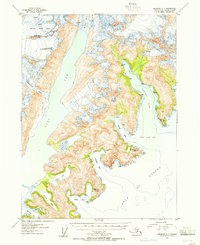
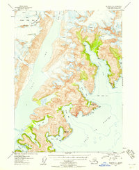
Editions of this 1953 Seldovia C-1 Map
3 editions found
Other maps of this area

1946 · Blying Sound
USGS Topo · 1:250,000

1950 · Seldovia D-2
USGS Topo · 1:63,360

1951 · Blying Sound
USGS Topo · 1:250,000

1951 · Seldovia
USGS Topo · 1:250,000
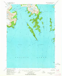
1951 · Blying Sound C-8
USGS Topo · 1:63,360
1951 · Blying Sound D-8
USGS Topo · 1:63,360

1951 · Seldovia B-2
USGS Topo · 1:63,360

1951 · Seldovia D-1
USGS Topo · 1:63,360
1952 · Blying Sound C-8
USGS Topo · 1:63,360
1953 · Seldovia B-1
USGS Topo · 1:63,360