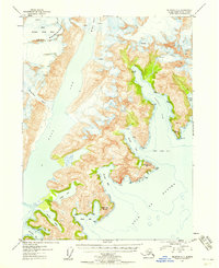
1953 Map of Seldovia C-1
USGS Topo · Published 1958About this map
Mc Carty Glacier and Dinglestadt Glacier dominate this coastal expanse of the Kenai Mountains, where ice meets the tide-water inlets of the Gulf of Alaska. Mapped from 1950 aerial photography, the landscape is defined by deep fjords and jagged promontories, including Paguna Arm and Taroka Arm branching off from Two Arm Bay. The interior includes portions of the Kenai National Moose Range, highlighting a wilderness largely untouched by permanent settlement or infrastructure at the time of the survey. Significant coastal features like Cloudy Mtn and Cloudy Cape serve as landmark markers for the entrance to Thunder Bay, while the retreat of ice is evidenced by the positioning of Delight Lake and Mc Carty Lagoon behind the terminal moraines of the larger glacial systems.
Find a feature on this map
23 named features on this map. Tap any name to fly to it.
Don’t see what you’re looking for? This feature index may not catch every label — zoom into the map to look around manually.
Map Details
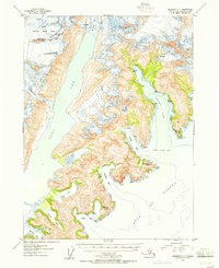
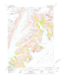
Editions of this 1953 Seldovia C-1 Map
3 editions found
Other maps of this area

1946 · Blying Sound
USGS Topo · 1:250,000

1950 · Seldovia D-2
USGS Topo · 1:63,360

1951 · Blying Sound
USGS Topo · 1:250,000

1951 · Seldovia
USGS Topo · 1:250,000
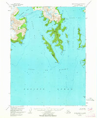
1951 · Blying Sound C-8
USGS Topo · 1:63,360
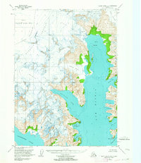
1951 · Blying Sound D-8
USGS Topo · 1:63,360

1951 · Seldovia B-2
USGS Topo · 1:63,360

1951 · Seldovia D-1
USGS Topo · 1:63,360
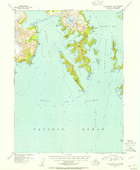
1952 · Blying Sound C-8
USGS Topo · 1:63,360
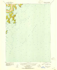
1953 · Seldovia B-1
USGS Topo · 1:63,360