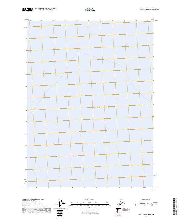
2024 Map of Blying Sound C-8 SW
USGS Topo · Published 2024About this map
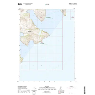
The Gulf of Alaska dominates this maritime survey of the Kenai Peninsula coastline, providing a clear look at the open waters and surveying grid near the southern reaches of the borough. The map details the intersection of Public Land Survey System boundaries, specifically where t6s r4w meets t6s r3w. As a modern digital cartographic product, it emphasizes the offshore expanse and the precise coordinate system used to manage these northern waters. This specific sheet focuses on the aquatic environment and the underlying surveying framework, making it a specialized reference for understanding the administrative divisions of Alaska's coastal regions.
Find a feature on this map
15 named features on this map. Tap any name to fly to it.
Don’t see what you’re looking for? This feature index may not catch every label — zoom into the map to look around manually.
Map Details
Editions of this 2024 Blying Sound C-8 SW Map
This is the sole edition of this map. No revisions or reprints were ever made.
Other maps of this area

1946 · Blying Sound
USGS Topo · 1:250,000

1951 · Blying Sound
USGS Topo · 1:250,000

1951 · Seldovia
USGS Topo · 1:250,000
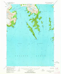
1951 · Blying Sound C-8
USGS Topo · 1:63,360
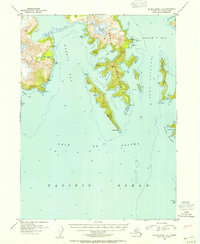
1952 · Blying Sound C-8
USGS Topo · 1:63,360
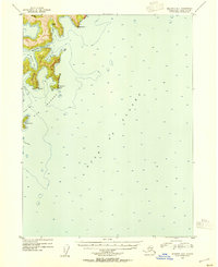
1953 · Seldovia B-1
USGS Topo · 1:63,360
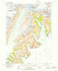
1953 · Seldovia C-1
USGS Topo · 1:63,360

1953 · Blying Sound
USGS Topo · 1:250,000

1963 · Seldovia
USGS Topo · 1:250,000
2017 · Seldovia C-1 SE
USGS Topo · 1:25,000