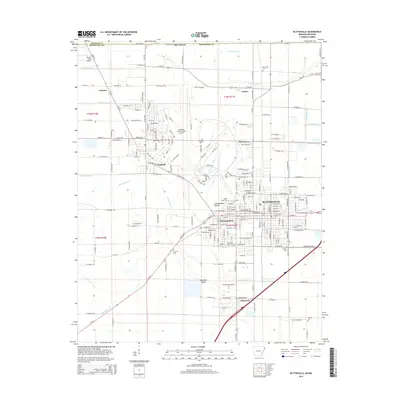
2014 Map of Blytheville
USGS Topo · Published 2014About this map
Blytheville and its surrounding agricultural landscape are defined by an intricate network of drainage infrastructure, with numbered waterways like Ditch Number 37 and Ditch Number 33 crisscrossing the flat Mississippi River delta. This engineered terrain supports several distinct communities, including Gosnell, Chickasawba, and Dogwood, alongside the regional hub of Arkansas International Airport. Cultural and archaeological history is anchored by the Chickasawba Mound, a prominent earthen feature rising from the plains.
Find a feature on this map
203 named features on this map. Tap any name to fly to it.
Don’t see what you’re looking for? This feature index may not catch every label — zoom into the map to look around manually.
Map Details
Editions of this 2014 Blytheville Map
This is the sole edition of this map. No revisions or reprints were ever made.
Other maps of this area

1934 · Kennett
USGS Topo · 1:62,500

1939 · Blytheville
USGS Topo · 1:62,500

1940 · Kennett
USGS Topo · 1:62,500

1940 · Hayti
USGS Topo · 1:62,500

1941 · Manila
USGS Topo · 1:62,500

1953 · Memphis
USGS Topo · 1:250,000

1955 · Hayti
USGS Topo · 1:62,500

1955 · Blytheville
USGS Topo · 1:62,500

1956 · Kennett
USGS Topo · 1:62,500

1956 · Manila
USGS Topo · 1:62,500