
1962 Map of Boardman
USGS Topo · Published 1963About this map
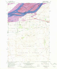
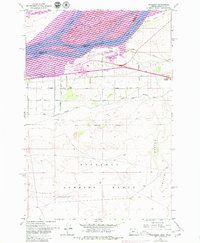
The Columbia River corridor dominates this 1962 landscape, showing the complex network of islands and channels near Boardman before the completion of modern river control projects. The town itself serves as a central hub for transportation, where the Union Pacific tracks run parallel to Sam Boardman Avenue. Beyond the immediate riverfront, the map details the engineering efforts to reclaim this arid region through the West Extension Irrigation Canal, which branches across the plateaus to support local agriculture.
Find a feature on this map
40 named features on this map. Tap any name to fly to it.
Don’t see what you’re looking for? This feature index may not catch every label — zoom into the map to look around manually.
Map Details
Editions of this 1962 Boardman Map
3 editions found
Other maps of this area

1906 · Blalock Island
USGS Topo · 1:125,000

1908 · Blalock Island
USGS Topo · 1:125,000

1953 · Pendleton
USGS Topo · 1:250,000

1956 · Pendleton
USGS Topo · 1:250,000

1962 · Canoe Ridge
USGS Topo · 1:24,000

1962 · Blalock Island
USGS Topo · 1:24,000

1962 · Paterson
USGS Topo · 1:24,000

1962 · Clarke
USGS Topo · 1:24,000

1962 · Crow Butte
USGS Topo · 1:24,000
1968 · Strawberry Canyon NE
USGS Topo · 1:24,000