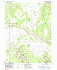
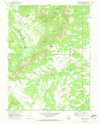
1969 Map of Bob Hill Knoll
USGS Topo · Published 1992About this map
Cedar Mountain dominates the northern landscape of this Emery County survey, giving way to the dramatic erosional features of The Wedge and Buckhorn Wash to the south. The terrain is a network of named draws and hollows, where water is a critical resource marked by isolated points like Joe Jensen Spring and Squaw Spring. The map captures a transitional moment in the high desert, documenting an Old Railroad Grade winding through the center of the sheet, a legacy of earlier infrastructure and transport through this arid canyon country.
Find a feature on this map
36 named features on this map. Tap any name to fly to it.
Don’t see what you’re looking for? This feature index may not catch every label — zoom into the map to look around manually.
Map Details
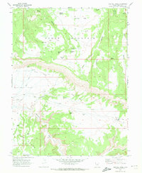
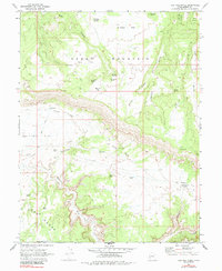
Editions of this 1969 Bob Hill Knoll Map
3 editions found
Other maps of this area

1886 · Price River
USGS Topo · 1:250,000

1896 · Price River
USGS Topo · 1:250,000

1953 · Wilsonville SE
USGS Topo · 1:24,000

1953 · Red Plateau SE
USGS Topo · 1:24,000

1953 · Red Plateau SW
USGS Topo · 1:24,000
1954 · Wilsonville SE
USGS Topo · 1:24,000

1956 · Price
USGS Topo · 1:250,000

1960 · Price
USGS Topo · 1:250,000

1962 · Price
USGS Topo · 1:250,000
1969 · Chimney Rock
USGS Topo · 1:24,000