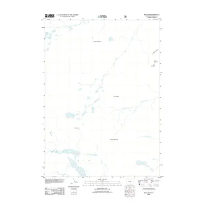
2012 Map of Bob Lakes
USGS Topo · Published 2012About this map
Indian Pass and the high peaks of the Kirkland Mountains anchor this high-altitude landscape in Fremont County. The terrain is defined by a complex network of glacial water bodies, from the clustering of the Bob Lakes and Crater Lake in the central reaches to the lower Little Milky Lake and Big Milky Lake in the south. Human presence is concentrated on the eastern edge, where the Meadow Creek Lookout Tower provides a strategic vantage point overlooking the drainage of Bob Cr and the heights of Bold Mountain. The absence of developed towns emphasizes the area's role as a wilderness corridor, with only Meadow Creek Rd providing managed access into the surrounding peaks and the broad expanse of Lenagon Meadows.
Find a feature on this map
22 named features on this map. Tap any name to fly to it.
Don’t see what you’re looking for? This feature index may not catch every label — zoom into the map to look around manually.
Map Details
Editions of this 2012 Bob Lakes Map
This is the sole edition of this map. No revisions or reprints were ever made.
Other maps of this area

1909 · Fremont Peak
USGS Topo · 1:125,000

1952 · Hays Park
USGS Topo · 1:24,000

1952 · Bob Lakes
USGS Topo · 1:24,000

1952 · Burris
USGS Topo · 1:24,000

1952 · Kirkland Park
USGS Topo · 1:24,000

1952 · Paradise Basin
USGS Topo · 1:24,000

1952 · Alpine Lake
USGS Topo · 1:24,000

1955 · Thermopolis
USGS Topo · 1:250,000

1958 · Thermopolis
USGS Topo · 1:250,000

1962 · Thermopolis
USGS Topo · 1:250,000