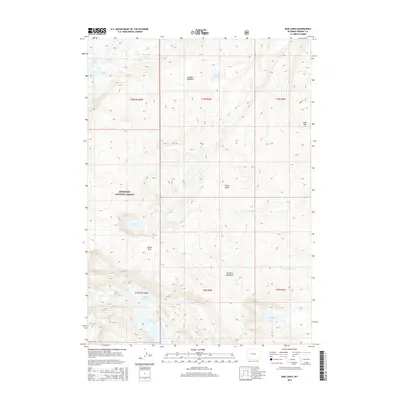
2015 Map of Bob Lakes
USGS Topo · Published 2015About this map
Shoshone National Forest defines the high-elevation landscape of this 2015 survey, characterized by an intricate network of glacial lakes and alpine terrain. The area is dominated by significant water features such as Bob Lakes, Crater Lake, and the connected system of Little Milky Lake and Big Milky Lake. The geography is shaped by prominent heights, including Bold Mtn and the Kirkland Mountains, which transition into lower-lying areas like Lenagon Meadows.
Find a feature on this map
27 named features on this map. Tap any name to fly to it.
Don’t see what you’re looking for? This feature index may not catch every label — zoom into the map to look around manually.
Map Details
Editions of this 2015 Bob Lakes Map
This is the sole edition of this map. No revisions or reprints were ever made.
Other maps of this area

1909 · Fremont Peak
USGS Topo · 1:125,000

1952 · Hays Park
USGS Topo · 1:24,000

1952 · Bob Lakes
USGS Topo · 1:24,000

1952 · Burris
USGS Topo · 1:24,000

1952 · Kirkland Park
USGS Topo · 1:24,000

1952 · Paradise Basin
USGS Topo · 1:24,000

1952 · Alpine Lake
USGS Topo · 1:24,000

1955 · Thermopolis
USGS Topo · 1:250,000

1958 · Thermopolis
USGS Topo · 1:250,000

1962 · Thermopolis
USGS Topo · 1:250,000