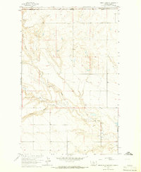
1964 Map of Bobcat Coulee NE
USGS Topo · Published 1965About this map
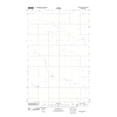
The international border between Canada and the United States defines the northern edge of this 1964 survey, where the prairie of Alberta and Montana meets. The landscape is dominated by the complex drainage systems of Sage Creek and its tributaries, including Bobcat Coulee, Lost Coulee, and Laird Cr. This is a sparsely populated ranching and agricultural region, evidenced by the scattered Well markers and isolated landmarks like Immanuel Ch in the southern portion of the quadrangle. Small-scale industrial activity is present through the Gravel Pit and Gravel Pits located near the eastern border. The map provides a meticulous record of the terrain at a time when traditional land lines and fence lines, noted in the margin, remained essential markers of property and movement across the high plains of Liberty County.
Find a feature on this map
14 named features on this map. Tap any name to fly to it.
Don’t see what you’re looking for? This feature index may not catch every label — zoom into the map to look around manually.
Map Details
Editions of this 1964 Bobcat Coulee NE Map
This is the sole edition of this map. No revisions or reprints were ever made.
Other maps of this area

1919 · Alma
USGS Topo · 1:125,000

1954 · Shelby
USGS Topo · 1:250,000

1958 · Shelby
USGS Topo · 1:250,000

1963 · Bobcat Coulee SE
USGS Topo · 1:24,000

1963 · Vaver Reservoir
USGS Topo · 1:24,000
1964 · Laird School
USGS Topo · 1:24,000

1972 · Goldstone SW
USGS Topo · 1:24,000
1972 · Laird Lake
USGS Topo · 1:24,000
1984 · Chester
USGS Topo · 1:100,000
2011 · Goldstone SW
USGS Topo · 1:24,000