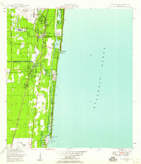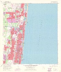
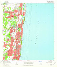
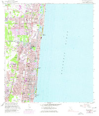
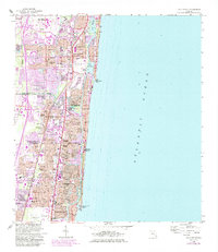
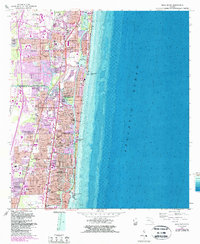
1962 Map of Boca Raton
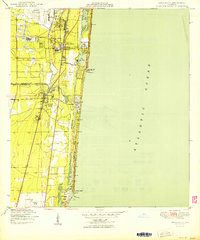
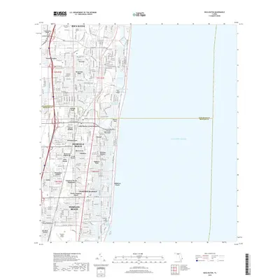
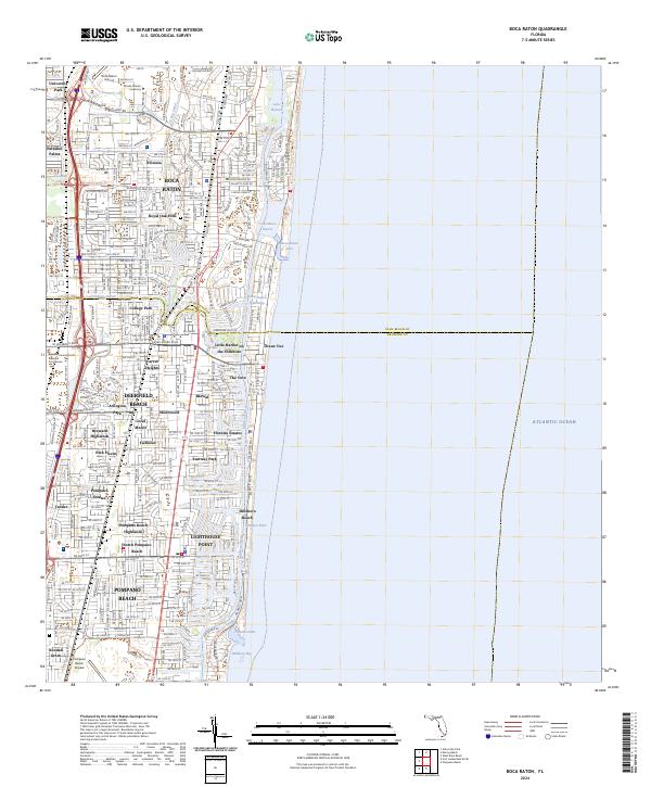
USGS Topo · Published 1970About this map
Boca Raton and Deerfield Beach appear during a decade of intense expansion along the Atlantic coast, where suburban subdivisions like Floresta and Royal Oak Hills are filling the landscape between the Sunshine State Pkwy and the shore. The transit infrastructure of the era is clearly defined by the parallel tracks of the Seaboard Coast Line and Florida East Coast railroads. Along the Intracoastal Waterway, development reaches toward the ocean through specialized waterfront communities such as The Cove and Little Harbor on the Hillsboro. Local life is anchored by established sites like the Boca Raton Cemetery and St Gregory Church, while the northern reaches show the early footprint of University Park. The map also captures the maritime character of the region, from the Boca Raton Inlet to the US Coast Guard Station Lighthouse at the southern edge.
Find a feature on this map
73 named features on this map. Tap any name to fly to it.
Don’t see what you’re looking for? This feature index may not catch every label — zoom into the map to look around manually.
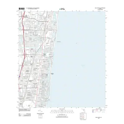
Map Details
Editions of this 1962 Boca Raton Map
5 editions found
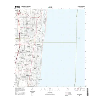
Historical Maps of Pompano Beach Through Time
8 maps found