
1944 Map of Bodega Head
USGS Topo · Published 1944About this map
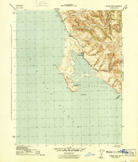
The Bodega Harbor coastline and the rugged inland gulches of Sonoma County appear here as surveyed in the early 1940s. The landscape is defined by the sheltered waters of Bodega Bay and the prominent peninsula of Bodega Head, with Doran Beach forming a long protective spit. Inland, the topography rises sharply toward Mount Roscoe and Irish Hill, dissected by a series of deep drainages including Johnson Gulch and Cheney Gulch.
Find a feature on this map
45 named features on this map. Tap any name to fly to it.
Don’t see what you’re looking for? This feature index may not catch every label — zoom into the map to look around manually.
Map Details
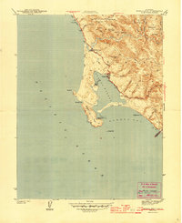
Editions of this 1944 Bodega Head Map
3 editions found
Other maps of this area

1916 · Point Reyes
USGS Topo · 1:48,000

1918 · Point Reyes
USGS Topo · 1:62,500

1935 · Sebastopol
USGS Topo · 1:48,000

1942 · Sebastopol
USGS Topo · 1:62,500

1942 · Bodega Head
USGS Topo · 1:24,000

1942 · Arched Rock
USGS Topo · 1:24,000

1943 · Duncans Mills
USGS Topo · 1:24,000
1944 · Arched Rock
USGS Topo · 1:31,680
1945 · Duncans Mills
USGS Topo · 1:31,680

1947 · Santa Rosa
USGS Topo · 1:250,000