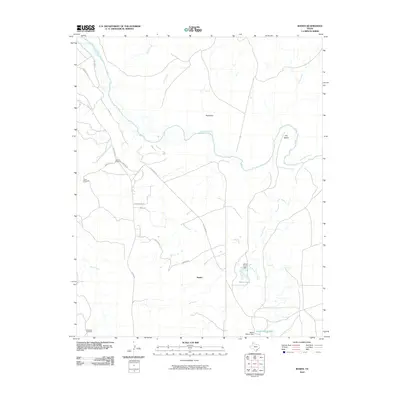
2010 Map of Boden
USGS Topo · Published 2010About this map
The Canadian River meanders through this portion of the Texas Panhandle, carving a path through the landscape near the settlement of Boden. The river's influence is evident in features like The Island and the various drainage systems that feed into it, such as Sand Creek, Corral Creek, and Lahey Creek. This early 21st-century survey illustrates a ranching and rural landscape defined by water management and a network of local roads and trails.
Find a feature on this map
28 named features on this map. Tap any name to fly to it.
Don’t see what you’re looking for? This feature index may not catch every label — zoom into the map to look around manually.
Map Details
Editions of this 2010 Boden Map
This is the sole edition of this map. No revisions or reprints were ever made.
Other maps of this area

1934 · Ady
USGS Topo · 1:62,500

1934 · Cliffside
USGS Topo · 1:62,500

1936 · Fourways
USGS Topo · 1:62,500

1936 · Cliffside
USGS Topo · 1:62,500

1936 · Ady
USGS Topo · 1:62,500

1953 · Marsh
USGS Topo · 1:24,000

1953 · Puente
USGS Topo · 1:24,000

1953 · Cliffside
USGS Topo · 1:24,000

1954 · Tucumcari
USGS Topo · 1:250,000

1954 · Amarillo
USGS Topo · 1:250,000