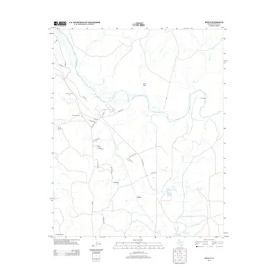
2012 Map of Boden
USGS Topo · Published 2012About this map
Canadian River hydrology and the sparse settlement at Boden characterize this portion of the Texas Panhandle. The landscape is defined by the winding riverbed and its numerous tributaries, including Lahey Cr, Corral Cr, and Sierrita de la Cruz Cr. Notable water features such as Whale Pond and Ranch Marsh Lake punctuate the arid terrain. The map's road network reflects the region's ranching heritage, with routes like Frying Pan Rd, Old Muddy Rd, and Saddleback Rd connecting local landmarks. The reliance on subterranean water sources is evident through named structures like Highway Windmill, Creek Windmill, and Southwest Windmill. Distinctive landforms such as The Island and Red Draw provide orientation points in a territory where the topography transitions between broad draws and river valleys.
Find a feature on this map
36 named features on this map. Tap any name to fly to it.
Don’t see what you’re looking for? This feature index may not catch every label — zoom into the map to look around manually.
Map Details
Editions of this 2012 Boden Map
This is the sole edition of this map. No revisions or reprints were ever made.
Other maps of this area

1934 · Ady
USGS Topo · 1:62,500

1934 · Cliffside
USGS Topo · 1:62,500

1936 · Fourways
USGS Topo · 1:62,500

1936 · Cliffside
USGS Topo · 1:62,500

1936 · Ady
USGS Topo · 1:62,500

1953 · Marsh
USGS Topo · 1:24,000

1953 · Puente
USGS Topo · 1:24,000

1953 · Cliffside
USGS Topo · 1:24,000

1954 · Tucumcari
USGS Topo · 1:250,000

1954 · Amarillo
USGS Topo · 1:250,000