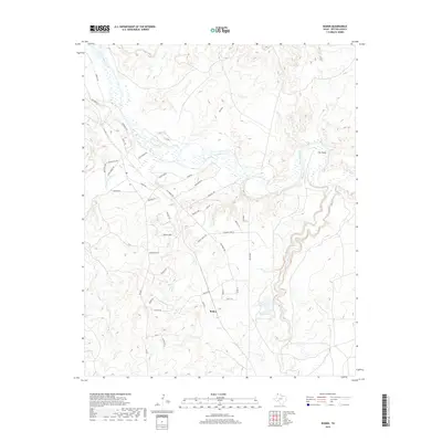
2019 Map of Boden
USGS Topo · Published 2019About this map
Boden sits within a complex drainage landscape in Potter County, where the wide channel of the Canadian River cuts through the high plains. The area is defined by a network of seasonal watercourses and draws, including Sand Cr, Corral Cr, and Red Draw, which flow toward the river's braided basin. A distinctive landform known as The Island is positioned within a significant bend of the river, while to the south, Whale Pond provides a permanent water source amid the local ranching infrastructure.
Find a feature on this map
48 named features on this map. Tap any name to fly to it.
Don’t see what you’re looking for? This feature index may not catch every label — zoom into the map to look around manually.
Map Details
Editions of this 2019 Boden Map
This is the sole edition of this map. No revisions or reprints were ever made.
Other maps of this area

1934 · Ady
USGS Topo · 1:62,500

1934 · Cliffside
USGS Topo · 1:62,500

1936 · Fourways
USGS Topo · 1:62,500

1936 · Cliffside
USGS Topo · 1:62,500

1936 · Ady
USGS Topo · 1:62,500

1953 · Marsh
USGS Topo · 1:24,000

1953 · Puente
USGS Topo · 1:24,000

1953 · Cliffside
USGS Topo · 1:24,000

1954 · Tucumcari
USGS Topo · 1:250,000

1954 · Amarillo
USGS Topo · 1:250,000