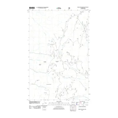
2011 Map of Bodie Mountain
USGS Topo · Published 2011About this map
Bodie Mountain and its surrounding peaks dominate this part of Okanogan County, where the landscape is defined by the legacy of high-country mining and seasonal ranching. Scattered across the complex terrain are historic extraction sites including the Silver Bell Mine, the Old Sheridan Mine, and the Kelly Mine, many connected by a network of forest development roads such as Sheridan Rd and Hardscrabble Mtn Rd. The map illustrates a high-altitude water network where springs like Cargo Spring and Bodie Spring feed the headwaters of Bodie Creek and Trout Creek. These drainages carve through a series of named summits, including Manhattan Mountain and Harvard Mountain, reflecting a period when mountain landmarks were frequently named after distant institutions or prominent prospectors. Cow Camp in the northern section serves as a reminder of the area's utility for livestock grazing within the forest lands.
Find a feature on this map
30 named features on this map. Tap any name to fly to it.
Don’t see what you’re looking for? This feature index may not catch every label — zoom into the map to look around manually.
Map Details
Editions of this 2011 Bodie Mountain Map
This is the sole edition of this map. No revisions or reprints were ever made.
Other maps of this area

1904 · Republic
USGS Topo · 1:125,000

1948 · Curlew
USGS Topo · 1:62,500

1948 · Republic
USGS Topo · 1:62,500

1951 · Wauconda
USGS Topo · 1:62,500

1951 · Curlew
USGS Topo · 1:62,500

1951 · Bodie Mountain
USGS Topo · 1:62,500

1951 · Republic
USGS Topo · 1:62,500

1954 · Okanogan
USGS Topo · 1:250,000

1958 · Okanogan
USGS Topo · 1:250,000

1958 · Aeneas
USGS Topo · 1:62,500