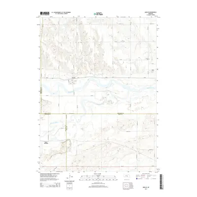
2014 Map of Boelus
USGS Topo · Published 2014About this map
The convergence of the Middle Loup River and South Loup River defines the landscape of this Central Nebraska region. The settlement of Boelus occupies the northern bank of the Middle Loup, while Saint Michael sits further south near the winding path of Sweet Cr. This area is marked by a complex network of waterways, including Deer Cr and Dry Cr, which likely influenced the historical placement of local cemeteries and transportation routes. Genealogy researchers will find the Loup Fork Cem and the Swedish Cem situated on the higher ground overlooking these river valleys. The map also illustrates the meeting of four counties—Sherman, Howard, Buffalo, and Hall—intersecting near the river bends and rural road systems like Tilden Rd and Wausau Rd. This 2014 survey documents the enduring agricultural and riverine layout of the territory, including modern additions like the Nelson Airport.
Find a feature on this map
44 named features on this map. Tap any name to fly to it.
Don’t see what you’re looking for? This feature index may not catch every label — zoom into the map to look around manually.
Map Details
Editions of this 2014 Boelus Map
This is the sole edition of this map. No revisions or reprints were ever made.
Other maps of this area

1895 · Wood River
USGS Topo · 1:62,500

1896 · Wood River
USGS Topo · 1:125,000

1899 · Loup
USGS Topo · 1:125,000

1953 · Dannebrog
USGS Topo · 1:24,000

1953 · Rockville
USGS Topo · 1:24,000

1953 · Boelus
USGS Topo · 1:24,000

1953 · Farwell
USGS Topo · 1:24,000

1953 · Nysted
USGS Topo · 1:24,000

1953 · Ashton
USGS Topo · 1:24,000

1955 · Broken Bow
USGS Topo · 1:250,000