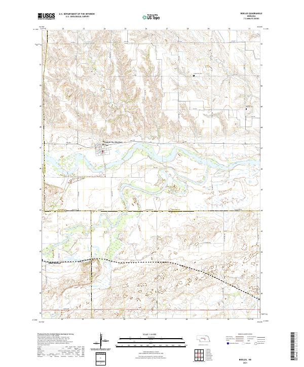
2021 Map of Boelus
USGS Topo · Published 2021About this map
Howard City, also known as Boelus, serves as a focal point where the central Nebraska plains are carved by the winding paths of the Middle Loup River and South Loup River. This 2021 survey illustrates a landscape defined by its waterways and a strict section-line road grid, including Salem Rd and Tilden Rd, which navigate the undulating breaks between river valleys. The convergence of these two major river branches south of the main settlement creates a complex network of wetlands and sandbars characteristic of the Loup River system.
Find a feature on this map
50 named features on this map. Tap any name to fly to it.
Don’t see what you’re looking for? This feature index may not catch every label — zoom into the map to look around manually.
Map Details
Editions of this 2021 Boelus Map
This is the sole edition of this map. No revisions or reprints were ever made.
Other maps of this area

1895 · Wood River
USGS Topo · 1:62,500

1896 · Wood River
USGS Topo · 1:125,000

1899 · Loup
USGS Topo · 1:125,000

1953 · Dannebrog
USGS Topo · 1:24,000

1953 · Rockville
USGS Topo · 1:24,000

1953 · Boelus
USGS Topo · 1:24,000

1953 · Farwell
USGS Topo · 1:24,000

1953 · Nysted
USGS Topo · 1:24,000

1953 · Ashton
USGS Topo · 1:24,000

1955 · Broken Bow
USGS Topo · 1:250,000