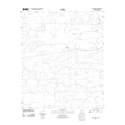
2011 Map of Bog Springs
USGS Topo · Published 2011About this map
Bog Springs and the nearby Hatton Post Office anchor this rural landscape in Polk County during the early 21st century. The terrain is defined by the high points of Whiskey Peak and the Cross Mountains, which overlook a dense network of watercourses including Indian Creek, Hickory Creek, and Cross Creek. The map shows a transition from structured county roads to more isolated tracks in the upland areas, reflecting the enduring rural character of this portion of the Ouachita region.
Find a feature on this map
76 named features on this map. Tap any name to fly to it.
Don’t see what you’re looking for? This feature index may not catch every label — zoom into the map to look around manually.
Map Details
Editions of this 2011 Bog Springs Map
This is the sole edition of this map. No revisions or reprints were ever made.
Other maps of this area

1902 · Lukfata
USGS Topo · 1:125,000

1913 · De Queen
USGS Topo · 1:125,000

1950 · Mcalester
USGS Topo · 1:250,000

1959 · Cove
USGS Topo · 1:62,500

1959 · Broken Bow
USGS Topo · 1:62,500

1960 · Smithville
USGS Topo · 1:62,500

1962 · McAlester
USGS Topo · 1:250,000

1964 · Gillham
USGS Topo · 1:24,000

1965 · McAlester
USGS Topo · 1:250,000
1966 · De Queen NW
USGS Topo · 1:24,000