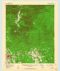
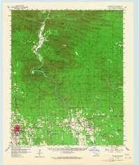
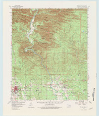
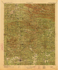
1959 Map of Broken Bow
USGS Topo · Published 1960About this map
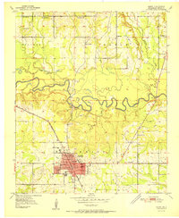
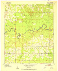
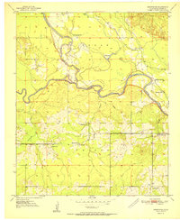
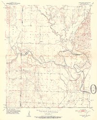
Mountain Fork River carves a deep path through the southeastern Oklahoma highlands in this late 1950s survey, showing the landscape shortly before significant hydroelectric development changed the river's flow. The settlement of Broken Bow serves as the regional hub, while the original site of Hochatown is visible to the north, long before its relocation due to lake construction. This era is characterized by a network of rural churches and schools that anchored the timber and mountain communities, including Goodwater Ch, Oak Grove Ch, and St Matthew Ch. The map highlights the recreational importance of the region with the established Beavers Bend State Park, featuring the distinctive Devils Backbone and Rattlesnake Bluff. Evidence of early industry remains visible through scattered landmarks like the Gravel Pit and the Broken Bow Lookout Tower, which monitored the surrounding mountain peaks like Big Nancy Mtn and Sage Mountain.
Find a feature on this map
88 named features on this map. Tap any name to fly to it.
Don’t see what you’re looking for? This feature index may not catch every label — zoom into the map to look around manually.
Map Details
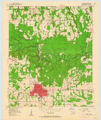
Editions of this 1959 Broken Bow Map
3 editions found
Other maps of this area
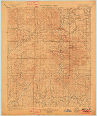
1902 · Lukfata
USGS Topo · 1:125,000
1913 · De Queen
USGS Topo · 1:125,000

1950 · Mcalester
USGS Topo · 1:250,000
1950 · Idabel
USGS Topo · 1:24,000
1950 · Shults
USGS Topo · 1:24,000
1950 · Goodwater
USGS Topo · 1:24,000
1951 · Idabel
USGS Topo · 1:24,000
1951 · Shults
USGS Topo · 1:24,000
1951 · Goodwater
USGS Topo · 1:24,000
1951 · Cerrogordo
USGS Topo · 1:24,000